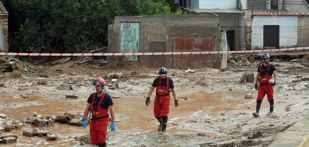
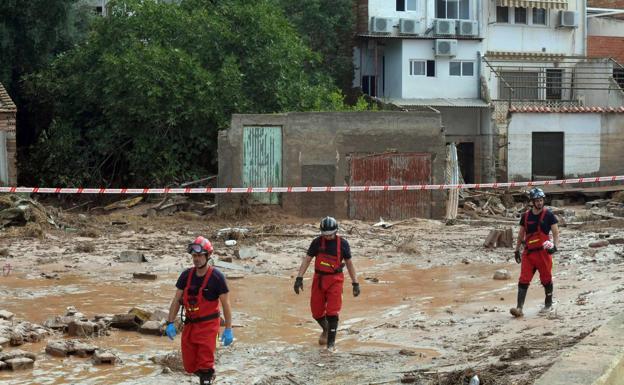
Firefighters walk down a street devastated by the flood in an image from last Monday. /
The geographers believe that the modeling that has aroused criticism from the Community, developers and municipalities for its restrictiveness “falls short” in the face of “increasingly unpredictable” rains

The draft caused by the waterspout that shook the Murcian district of Javalí Viejo in the early hours of last Monday exceeded the estimates of the new mapping of flood zones of the Segura Hydrographic Confederation (CHS) in a return period of one hundred years, a measure which expresses the probability that an event will happen once in that period of time. This is confirmed by the College of Geographers of the Region, its vice president, Javier Martí, who considers that the forecasts in this cartographic model “fall short” in the face of the “increasingly unpredictable” and more virulent meteorological events that are causing “the change climate”.
It should be remembered that the maps updated by the CHS to include new data and that it remains in the allegations phase until next October 23 have aroused criticism from the Autonomous Community, the promoters and several city councils in the Region, who attribute an excess of zeal in defining risk areas due to the restrictiveness that this implies for urban planning and land use planning in the Region.
Antonio Prieto, former president of the College of Geographers of Spain, professor at the University of Alicante and technical director of the company Cota Ambiente, dedicated to preparing flood studies for local administrations, agrees that the studies are being overtaken by a meteorology with repeated extreme episodes, as in the case of Javalí Viejo, with more than 40 liters in 10 minutes and that of the Vega Baja floods in 2019. «One thing is the theory and the mathematical calculations we do, and another is reality . The maps of the confederations have improved a lot, but you have to remember that all these are still theoretical models, and what the numbers tell you is almost impossible to happen, then it can happen twice in a month.
«If there is an area with a climate of risk, it is the Mediterranean; we must plan carefully and act with more prevention»
“Is it the effect of climate change? Yes. Are the episodes more torrential? Yes. It rains a lot more than we thought », she warns. For his part, the professor of Human Geography at the University of Murcia Ramón García Marín explains that one of the problems with modeling “is that it is based on historical data” which, despite the “good databases we have”, make It is very difficult to get it right when faced with uncertain variables such as those introduced by climate change.
Prieto also points out another conditioning factor, the human factor: «In the Mediterranean we have been buying lottery for years so that these floods occur, building where we should not, modifying boulevard courses to build or cultivate. The real estate bubble of the 1990s and 2000s was largely to blame for the fact that we are now on land that was previously unoccupied. Then it rains and the water washes away a house.
“Areas of boulevards with meanders like the one in Javalí are very problematic, and this is aggravated by narrowing and piping,” Martí points out. Regarding agriculture, Professor García Marín recalls that in municipalities such as San Javier or Los Alcázares, “poor management and planning in agricultural development has stimulated an increase in surface runoff, with the diversion of riverbeds, the lowering of plots or the waterproofing of the ground».
For this reason, geographers claim the importance of extreme caution and attend to modeling to “save lives” in the face of reservations by administrations to limit land use.
«If there is an unpredictable area, it is the Mediterranean. It is necessary to act with more prevention and try to prevent the water from reaching the riverbed, retain it, laminate it and collect it with solutions based on nature, establishing flood parks, for example. We must understand that we cannot dominate nature. That is the problem of the last 50 years”, warns Prieto.
#flood #Javalí #exceeded #estimates #100year #flood #zone #maps


