
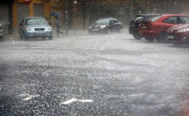
File image of a hailstorm. /
Rubén del Campo, spokesman for the Aemet, explains the atmospheric phenomenon that has generated ice stones 10 centimeters in diameter
“It was a very unusual hailstorm, something extraordinary,” says Rubén del Campo, spokesman for the State Meteorological Agency (Aemet) in reference to the hail storm (with stones up to eleven centimeters in diameter, larger than a ball of tennis) that has hit La Bisbal d’Empordà (Girona), where a 20-month-old baby has died and there has been serious material damage to vehicles, shops and homes.
The atmospheric phenomenon, very localized in this capital of the Bajo Ampurdán region with a population of over ten thousand residents, was caused by a large cumulonimbus, which are storm clouds that develop when there is atmospheric instability. “On this occasion the cumulonimbus reached a great length, it exceeded 16 kilometers in altitude and it was even possible that it reached 20 kilometers,” says Del Campo, who recalls similar precedents in August 1986 in Lleida and in 2017 in the area. of Rubielos de Mora, in Teruel.

The spokesman explains how large hailstones form inside these cumulonimbus clouds. “Within these large clouds, very strong ascending and descending air currents are produced, and that is where the hail is generated. Imagine a small droplet of water at the base of that cloud that, thanks to these currents, rises violently upwards, reaches the freezing point, freezes and traps ice crystals and more droplets that freeze. That makes the hail ball gain size. This ball comes to a point when it falls due to gravity and reaches the point where it thaws again. And indeed part of the ball thaws, but if it catches the updraft again, it rises again, and the cycle repeats itself as if it were an onion that gains in layers. In other words, the ball gains in size until it reaches a considerable diameter. In addition, it can happen that different balls remain attached, as could happen on Tuesday in Girona, and these large hailstones are formed ».
Del Campo believes that the probability of something like this being repeated “is low.” Today there may be hail storms in areas of Catalonia and the Pyrenees, but “not of this caliber.”
In his opinion, these episodes depend on atmospheric instability and he believes that it is still early to advance if they will be repeated in autumn, when the damage and strong floods that they drag also usually occur. “We have a Mediterranean Sea that is always warm in autumn and now it is likely that we will reach autumn with a Mediterranean Sea that is even warmer than normal, which could mean an extra supply of energy and could make some phenomena more violent. But this cannot be forecast more than ten days in advance. At the moment the forecasts tell us that in the West and in the Center of the Peninsula in the months of September and October it will rain less than normal, and there is no clear trend for these areas of the Mediterranean slope where danas are more common» , apostille.
#unusual #hailstorm