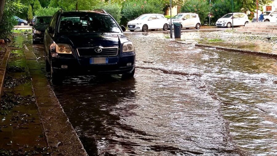
Weather conditions have worsened, especially in the North. Let's take a look at the weather warnings in detail.
The vortex of bad weather that has hit Italy shows no signs of abating. Winter continues to take its toll on the Peninsula, with rain and thunderstorms also forecast for Tuesday 23 April. For many, this return of the almost wintry cold was unexpected right now, in mid-April, when they were hoping for a much warmer end to the month. The surprisingly warm days of early April and late March had hinted at a truly muggy summer. Now, it's time for new alerts weather alert.
Due to this sudden return of bad weather and cold, the Civil Protection has issued a yellow weather alert for temporal And hydrogeological risk on five regions, concentrated mostly in the Centre-North.

Due to a large area of low pressure that pushed cold air from Scandinavia towards our country, the weather conditions worsened, especially at North. But here are the weather warnings in detail.
Ordinary criticality, yellow alert for hydraulic risk: Emilia Romagna: Reggio Emilia plain, Modena plain, Piacenza-Parma low hills, Reggio Po plain, Piacenza-Parma plain.
Ordinary criticality, yellow alert for storm risk: Abruzzo: Tordino Vomano basins, Pescara basin
Emilia Romagna: Ferrara coast, Romagna coast, Bolognese plain, Low hills and plains of Romagna, Bolognese mountains, Bolognese hills, High Romagna hills, Romagna mountains, Ferrarese plain
Puglia: Salento, Umbria: Chiani – Paglia, Nera – Corno, Trasimeno – Nestore, Chiascio – Topino, Medio Tevere, Alto Tevere.
Ordinary criticality, yellow alert for hydrogeological risk: Abruzzo: Tordino Vomano basins, Pescara basin, Emilia Romagna: Central Emilian mountains, Low Piacenza-Parma hills, Piacenza-Parma mountains, High Piacenza-Parma hills, Central Emilian hills, Puglia: Salento
Veneto: Po, Fissero-Tartaro-Canalbianco and Basso Adige.

In detail, the forecasts for tomorrow tell a story North by widespread bad weather since the morning, with widespread rainfall across the plains and pre-Alpine belt and scattered across the rest of the north. To the Center, light and scattered rain, with possible sudden thunderstorms in mountainous areas. Let's see, then, at South, irregular cloud cover, with intense thunderstorms in the morning over the Tyrrhenian area and southern Puglia. The phenomena should ease between afternoon and evening. Regarding snowfall, it will be scattered across the Alps and Pre-Alps above 700 metres, and above 1000 meters in the central Apennines.
#Weather #alert #bad #weather #returns #Tuesday #April #regions #affected