Extreme El Niño events could become the new normal, new research suggests. During these severe events, the western coast of South America experiences heavy rainfall that can lead to flooding and landslides, while landmasses in the western Pacific, such as Indonesia and Australia, experience drought.
El Niños could become the new normal
The world is on track to warm by 5.2 degrees Fahrenheit (2.9 degrees Celsius) by 2100 if current greenhouse gas emission trends continue, according to a 2023 United Nations report.
The new modeling study suggests that if the planet warms a little more, or 6.6 F (3.7 C), 90 percent of El Niños will rival the strongest El Niños ever recorded, such as the El Niño that occurred between 1997 and 1998.
That El Niño was responsible for 23,000 deaths and billions of dollars in damages from storms, droughts, floods and flood-induced disease outbreaks, according to a 1999 estimate published in the journal Science.
“If we ended up in a state where every El Niño was extreme in the eastern Pacific, this would have enormous socioeconomic implications for the Pacific region,” said the study’s lead author, Tobias Bayr, who conducted the research while a scientist at the GEOMAR Helmholtz Centre for Ocean Research in Germany.
The effect of the climate change There has been much debate about the El Niño and La Niña cycles. Some early models suggested that a warming world might be in a permanent state of El Niño, in which the trade winds around the equator weaken and the eastern Pacific warms.
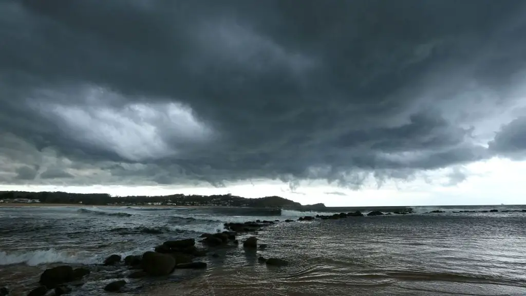
This warming of the oceans has far-reaching impacts on climate and weather. Heat from the water is lost into the atmosphere, increasing average global temperatures. The jet stream over North America shifts southward, drying out the Pacific Northwest and causing increased precipitation in the southern United States.
Some of the most disastrous impacts are occurring in the Southern Hemisphere, with extreme rainfall in South America and droughts and wildfires on the opposite side of the Pacific.
Not all climate models agree that a permanent El Niño was induced by climate change, Bayr said. He and his colleagues used a climate model that is particularly good at representing complex patterns of weather. They found that warming did not cause a permanent phenomenon, but rather stronger and more frequent conditions.
Under current conditions, the model predicted eight or nine extreme events per century. Extreme events are defined by the amount of precipitation in the mid-tropical Pacific during the Northern Hemisphere winter.
With 6.6°F of warming, that number skyrocketed to 26 extreme events every 100 years, on a nearly regular four-year oscillation. Under these conditions, the researchers found, 90.4% of El Niños would be extreme by today’s standards. These extremes are due to extra-warm conditions in the eastern Pacific above the equator, the model showed.
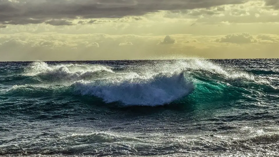
The results, published in the journal Geophysical Research Letterscome from just one model, Bayr cautioned, so they need to be confirmed in other climate models.
The study reopens the question of whether El Niño is a “tipping point” in the climate system. Climate tipping points are conditions that change rapidly to new climate conditions but do not easily reverse if temperatures cool again.
The new research suggests that this may be the case, which would not return to a more “normal” pattern for more than a century if it morphed into a fully extreme version of the cycle, Bayr and his colleagues wrote.
“It behaves very differently in colder climates and warmer climates, and so we say there is a similar behavior at a tipping point,” Bayr said. “It would be nice if other institutions could do similar experiments and see if other models show similar behavior.”
Scientists say they can predict El Niño’s Southern Oscillation years in advance
The next El Niño Southern Oscillation can be predicted more than two years in advance, according to a new study that examined thousands of years of past climate data.
The El Niño-Southern Oscillation (ENSO) is a climate cycle characterized by cooling (La Niña) and warming (El Niño) of the sea surface over the central and eastern tropical Pacific Ocean. It is one of the strongest and most predictable weather patterns influencing global climate.
Using various climate models, scientists at the National Oceanic and Atmospheric Administration (NOAA) have forecast ENSO events about six to 12 months in advance. But the new study, published in the journal Geophysical Research Letters, more than doubles that forecast window in some cases.
In the contiguous United States, these phenomena influence hurricanes in both the Atlantic and Pacific Oceans. Like a seesaw, La Niña weakens hurricane activity in the eastern Pacific and strengthens it in the Atlantic. And strong events typically mean wet weather for the southwest United States, while La Niña typically heralds warm, dry conditions in the same region.
Predicting weather more than a few weeks in advance is challenging, but “when the ocean, land surface, or ice are involved, we can get longer predictability because those processes evolve more slowly,” lead author Nathan Lenssen, a climate scientist at the Colorado School of Mines and a project scientist at the National Center for Atmospheric Research, told Live Science.
When it comes to forecasting ENSO, “the more time we have on one of these, the better,” said Emily Becker, a climate scientist at the University of Miami who was not involved in the study.
The ENSO forecast is valuable for emergency planning and resource management, he said. For example, if drought conditions are likely in the coming years, state governments can issue water conservation or storage plans in advance.
To test whether those predictions were reliable, Lenssen and his team looked at 10 sophisticated models that drew on hundreds or thousands of years of data on sea levels, air temperatures, precipitation, and more to simulate the climate. The models essentially recreated a specific moment, say January 2000, and tried to predict the climate for the next three years, 2000, 2001, and 2002, without any additional information. The models also showed whether the phenomena or a neutral state were likely during those 36 months.
The research team evaluated the effectiveness of ENSO predictions by these models against historical data from 1901 to 2009.
They found that ENSO is more predictable following strong El Niño events, such as those of 1997 and 2016. Furthermore, their work showed that such predictions could be made at least two years in advance. Multi-year predictions were less reliable during a weak El Niño or La Niña or between “neutral” events.
“I think this paper takes a really thorough and comprehensive approach,” Becker told Live Science.
Climate forecasting centers have not yet released long-range forecasts, but Lenssen and his team are in discussions with international agencies to assess whether and when to publish such long-range ENSO forecasts.
What is El Niño?
El Niño is a climate cycle that occurs in the Pacific Ocean and affects weather patterns around the world.
The cycle begins when warm water in the western tropical Pacific Ocean moves eastward along the equator toward the coast of South America. Typically, this warm water accumulates near Indonesia and the Philippines. During an El Niño, the warmest Pacific surface waters are found off northwestern South America.
During this cycle, the position of tropical storms shifts eastward as atmospheric moisture fuels the thunderstorms and maximum evaporation occurs over warmer ocean waters.
The opposite of El Niño is La Niña, which occurs when the waters of the tropical eastern Pacific are colder than normal and the trade winds blow stronger than usual.
Overall, they are part of an oscillation in the ocean-atmosphere system called the El Niño-Southern Oscillation, or ENSO, cycle, which also has a neutral phase.
Scientists don’t yet understand the details of what triggers a cycle. Not all cycles are the same, nor do the atmosphere and ocean always follow the same patterns from cycle to cycle.
The current El Niño event is expected to push global temperatures into uncharted territory and contribute to global warming exceeding the critical threshold of 2.7 F (1.5 C) within the next five years. It will most likely intensify extreme weather events associated with climate change, such as heat waves, droughts, and heavy rains, in some areas.
“It’s a huge driver of some of the extremes that we’ve experienced in the past and are likely to experience in the coming months,” Silva told Live Science. “It’s very likely that this year or next year we’ll see the warmest year on record.”
Between July 2020 and March 2023, a rare triple-dip La Niña disrupted weather patterns around the world. The three-year event was partly responsible for record rainfall and severe flooding in Australia, a record-breaking Atlantic hurricane season in 2020, and the third-most active hurricane season in 2021.
#Niños #extreme #climate #change #slowed