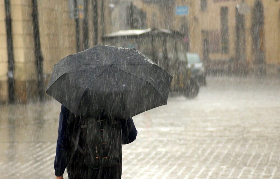
Tomorrow, Monday 11 March, orange and yellow weather alert in various areas of Italy. There are several warnings for hydraulic and hydrogeological risk in many regions.
Italy is preparing for another week of bad weather, with rain, storms and snow in the mountains which did not spare the communication of weather warnings. The Mediterranean basin is still under the influence of unstable Atlantic currents which will continue to bring disturbances to our country.
In recent days the Peninsula has been clearly divided by sirocco winds in the South which have brought a sudden general increase in temperatures. A wave of bad weather is expected in the North which has generated several weather warnings.

Tomorrow, Monday 11 March, orange weather alert and yellow in various areas of Italy. Starting from the most urgent and important warning, the orange alert for hydraulic risk is signaled for Emilia Romagna, in the Modena plain area.
Yellow weather alert for hydraulic risk
The specific areas affected by the yellow alert, also known as “ordinary criticality”:
- Calabria: Central-Northern Ionian Slope, Central-Southern Ionian Slope, Northern Tyrrhenian Slope, Central-Northern Tyrrhenian Slope, Central-Southern Tyrrhenian Slope, Northern Ionian Slope
- Emilia Romagna: Reggio Emilia plain, Piacenza-Parma low hill, Reggio Po plain, Piacenza-Parma plain
- Lombardy: Eastern high plain, Eastern lakes and pre-Alps, Western low plain, Milan Hydraulic Hub
- Piedmont: Northern plain
- Veneto: Lower Brenta-Bacchiglione and Fratta Gorzone, Livenza, Lemene and Tagliamento, Upper Brenta-Bacchiglione-Alpone
Yellow weather alert due to hydrogeological risk
In the following regions and specified areas, weather warning alerts:
- Abruzzo: Tordino Vomano Basin, Aterno Basin, Marsica, Pescara Basin, Upper Sangro Basin, Lower Sangro Basin
- Calabria: Central-Northern Ionian Slope, Central-Southern Ionian Slope, Northern Tyrrhenian Slope, Central-Northern Tyrrhenian Slope, Central-Southern Tyrrhenian Slope, Northern Ionian Slope
- Campania: Lower Cilento, Upper Volturno and Matese, Campania Plain, Naples, Islands and Vesuvian Area, Upper Irpinia and Sannio, Tanagro, Sorrento-Amalfi Peninsula, Sarno Mountains and Picentini Mountains, Tusciano and Alto Sele, Sele Plain and Upper Cilento
- Emilia Romagna: Central Emilian mountains, Low hills of Piacenza-Parma, Mountains of Piacenza-Parma, High hills of Piacenza-Parma, Central Emilian hills, Low hills and plains of Romagna, Mountains of Bologna, Hill of Bologna, High hills of Romagna, Mountains of Romagna
- Friuli Venezia Giulia: Tagliamento and Torre mountain basin, Livenza and Lemene basin
- Lazio: Rome Basins, Rieti Apennines, Middle Tiber Basin, Northern Coastal Basins, Liri Basin, Southern Coastal Basins, Aniene
- Lombardy: Eastern high plain, Central plain, Valcamonica, Eastern lakes and pre-Alps, Pavia Apennines, Lower eastern plain, Lower central-eastern plain
- Molise: Frentani – Sannio – Matese, Alto Volturno – Medio Sangro, Litoranea
- Puglia: Lower Ofanto, Lower Fortore, Gargano and Tremiti, Tavoliere – lower Candelaro, Cervaro and Carapelle basins, Lato and Lenne basins, Central Adriatic Puglia, Salento, Central Bradanica Puglia, Sub-Daunian Apennines
- Tuscany: Ombrone Gr-Medio, Etruria, Valdichiana, Valdelsa-Valdera, Valdarno Inf., Serchio-Garfagnana-Lima, Ombrone Gr-Costa, Arno-Casentino, Serchio-Costa, Arno-Valdarno Sup., Arno-Florence, Arno-Costa , Bisenzio and Ombrone Pt, Etruria-North Coast, Etruria-South Coast, Lunigiana, Mugello-Val di Sieve, Reno, Romagna-Tuscany, Serchio-Lucca, Valtiberina, Versilia, Fiora and Albegna, Ombrone Gr-Alto, Islands, Fiora and Albegna-Costa and Giglio
- Trentino Alto Adige: Autonomous Province of Trento
- Umbria: Chiani – Paglia, Nera – Corno, Trasimeno – Nestore, Chiascio – Topino, Middle Tiber, Alto Tiber
- Veneto: Lower Brenta-Bacchiglione and Fratta Gorzone, Upper Brenta-Bacchiglione-Alpone, Piave foothills

The weather for Monday 11 March
Weather forecast for tomorrow, starting from North. Variability with rare or only isolated storm phenomena. More unstable in Emilia Romagna with showers, thunderstorms and snow in the Apennines. Stationary temperatures, maximum between 11 and 16. Moving on to Center, unstable weather with intermittent showers and thunderstorms, even intense in the central hours and in inland areas. Stable temperatures, maximum between 11 and 17. Finally, the South, mostly unstable, with intermittent rain and thunderstorms, more frequent in Sardinia and the Tyrrhenian regions. Temperatures dropping, maximums between 13 and 17.
Weather is expected to improve only from mid-week. It is advisable to pay attention to weather warnings and follow the instructions of local authorities.
#Bad #weather #Italy #weather #warning #Monday #March #regions #affected
