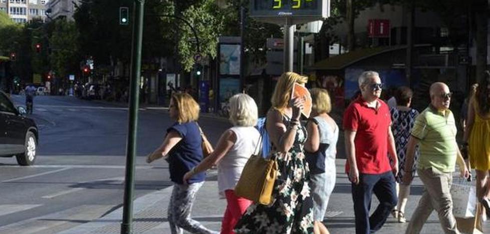
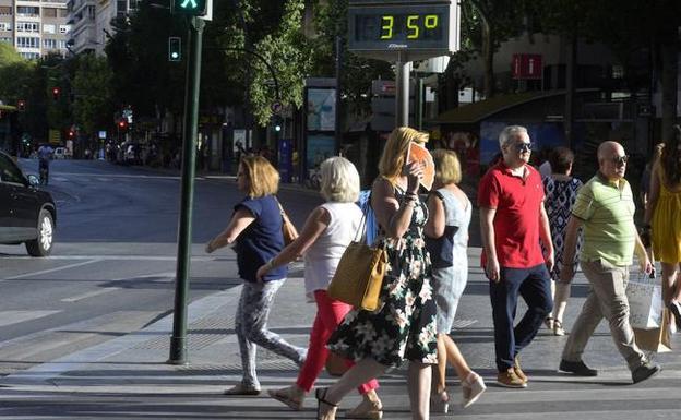
Several people walk through Murcia, in a file image. /
The most notable drop in temperatures will come in the middle of next week

The heat wave continues unabated in the country in general and in the Region of Murcia in particular. Yellow or orange warnings for high temperatures are repeated throughout the Spanish geography, reaching 42 degrees. Since last Sunday, thermometers have shot up due to the entry of a mass of very warm air from North Africa. Five days later, this Friday there is even a rise in temperatures.
But this anomalous situation for these dates of mid-June has the hours counted, since the Aemet has already set a date for the end of the heat wave. This Saturday, temperatures are expected to begin to drop considerably, although they will only do so in the western half of the peninsula, where the heat wave episode will end. In the southeastern half, however, it will continue to be active until much of Sunday, with temperatures continuing to reach 38 degrees in the capital.
The end of the heat wave will be more noticeable next week. The decrease will be gradual in both the maximum and minimum temperatures and you will feel a heat more typical of the season and less of midsummer, because although it may not seem like it, we are still in spring. The heat on Monday will still be intense, but in the early morning temperatures will drop to 15 degrees in Murcia, in a cooler environment.
The thermometer will continue to experience a considerable drop until it reaches a minimum of 12 degrees and a maximum of 30 degrees in the capital on Thursday; 17 and 30 respectively in the Guadalentín Valley; also up to 14 and 28 in the Altiplano and the Northwest; and with milder values of 19 and 26 degrees on the coast. Finally, the strong heat will give a respite with temperatures that make it more pleasant to go outside.
#heat #wave #Region #Murcia