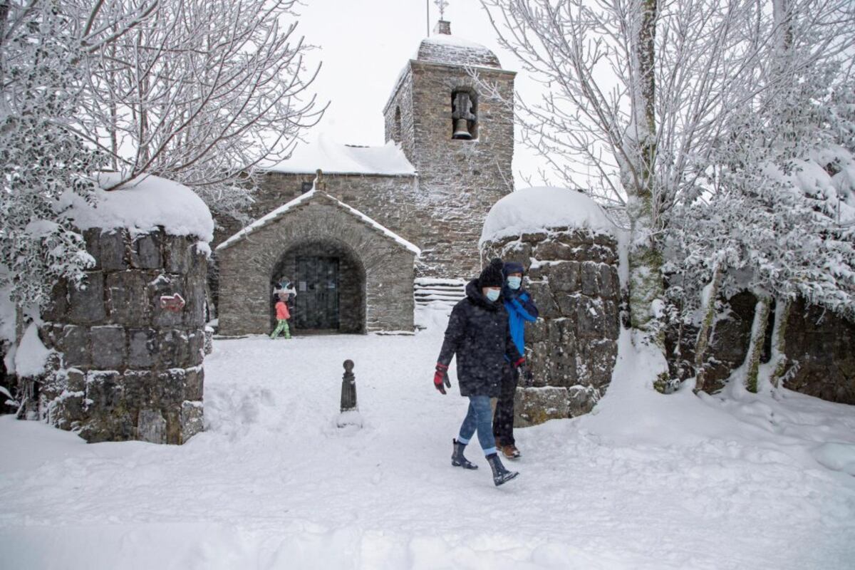
Although the astronomical winter will not arrive until December 21 in the northern hemisphere, the season has already begun on Thursday the 1st from the point of view of time. The meteorological winter forecast ―which covers the months of December, January and February, while the astronomical one will end later, on March 20― suggest that in Spain “it will be warmer than normal in most of the country, except in the Canary Islands”, Rubén del Campo advances , spokesperson for the State Meteorological Agency (Aemet). As for the rains, it is expected that it will be rainy in the Mediterranean, the Balearic Islands and the Canary Islands, while in the rest it is most likely that it will rain below normal values.
It is, in any case, a seasonal predictionwhich provides probabilistic information in terms of precipitation and temperature, trends in broad strokes. As much as they insist on advertising hoaxes such as cabañuelas, it is impossible to forecast specific events in the long term, such as cold waves, rainstorms or snowfall, since this type of prediction reaches, at most, 10 days ahead. The most probable thing, indicates Aemet, is that this quarter as a whole will be warmer than normal in most of Spain, with a probability that the temperatures will be above the usual of 40% for a good part of the Peninsula and 50% in the Mediterranean and the Balearic Islands, compared to only between 20 and 25% that are below the usual values. In the Canary Islands, the scenarios of it being warmer or colder than normal are just as likely, so there is no clear trend.
At the moment it is not on the radar, but Aemet does not rule out that a cold wave could occur during the first half of winter. Del Campo reiterates that the European organization Copernicus observes that the probability of an episode of abnormally low temperatures occurring is greater than in previous winters due to the current atmospheric configuration ―a blocking anticyclone in high latitudes in northern Europe― and greater coverage of snow around the Polar Circle. But, in the short term, no cold wave is expected in Spain next week or in the next 10 days. Since 1975, there have been a total of 62 cold waves in Spain, a phenomenon that is on the decline: in the last decade, the number of days under a cold wave has been reduced by almost half. Last winter there was only one small wave that went unnoticed a priori. It occurred between January 14 and 18 and affected 11 provinces.
In Spain, the average temperature in winter is between the maximum and the minimum of 7.9°. This value is below 10° in a large part of the territory, except in areas of the northern coast, the Guadalquivir valley, the Mediterranean coast, the Balearic Islands and the Canary Islands. However, the trend, due to climate change, is to increasingly warm winters in which less and less snow falls. The past was very warm and six of the last seven have been warm or very hot or extremely hot, including from 2020-2021 despite Philomenaand with that of 2019-2020 as the warmest since there are records.
As for rainfall, the bad news continues: only in the Mediterranean area, the Balearic Islands and the Canary Islands, Aemet predicts a rainier season than normal. This framework of greater rains has a 40% to 50% probability compared to 20-25% that they are less. On the other hand, in most of the Peninsula the scenario that points to more abundant rains than normal is “minority”: 20% compared to 40% that the winter is drier than normal. The usual thing is that on average in Spain about 200 liters per square meter are collected in winter.
There is little left until the end of the month of November, which is going to be one of the five warmest since 1961. As for rain, until the 22nd it had rained 8% less than normal.
But the 30th also ends the #fall. In this thread 🧵 we make a preliminary balance pic.twitter.com/PNP8dYFKAF— AEMET (@AEMET_Esp) November 25, 2022
What affects the most is what happens closer. To not miss anything, subscribe.
subscribe
Although Aemet has not published its seasonal balance for the autumn, in the absence of processing the latest data for November, the season that has just ended has been a branch of the summer, that is, very hot and dry. The season started with a warm september ―The temperature was 0.6° above average― and dry. It was followed by an extraordinarily warm October ―the one with the highest average temperature in the series and with a record anomaly of 3.6°―, in which it rained two thirds of normal. And November has been very warm, between the five warmest of the series, which starts in 1961.
Thus, this autumn will be among the two warmest in the series, with an average temperature above 16°, something that had only happened before in 1983. “It cannot even be ruled out that it ends up being the warmest autumn in the entire series ”, highlighted Aemet a few days ago. The rains remained at least 20% below normal, which is why the country continues in a meteorological drought.
The entire year 2022 is, for now, the warmest in the historical series. “Only two months (March and April) have been cold. The rest have been warm (January and September), very warm (February, June, August and November) or extremely warm (May, July and October)”, the agency underlines.
#Meteorological #winter #weather #Spain